blah blah blah
Goodhue Hill
Length: 2.0 miles out-and-backDifficulty (click for info): Beginner
Elevation Gain: 490 feet (+30 feet on return)
Rating (click for info): 5/10
Elevation: 1623'
Prominence: 427'
Driving Directions:
Trailhead and parking area are on Willard Pond Road in Antrim, NH. Willard Pond Road begins on the northeast side of Rt. 123, 3.3 miles south of its junction with Rt. 9 and 3.7 miles north of its junction with Rt. 137 in the center of Hancock. This dirt road can be narrow and winding in some places. At 0.5 miles, bear left (this turn is more important to watch for on the way out), and then 0.2 miles further, bear left again. At 1.6 miles from the main road, look for the large parking area on the left just after a shack and a row of boulders. Click here for a Google map.
About the Hike:
On the other side of Audubon's dePierrefeu-Willard Pond Wildlife Sanctuary across from the main attractions Bald Mountain and Willard Pond is a less frequented hiking trail up to the top of Goodhue Hill. Though views were once more open from a clearcut at the top, there is still a nice and secluded overlook from the summit with a view in a similar direction as the ledges on Bald Mountain. It's an easier alternative to the bouldery and steeper trails over on Bald, or you could choose to visit both sides of the trail network in one longer trek.
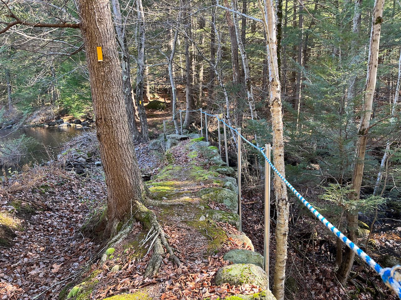
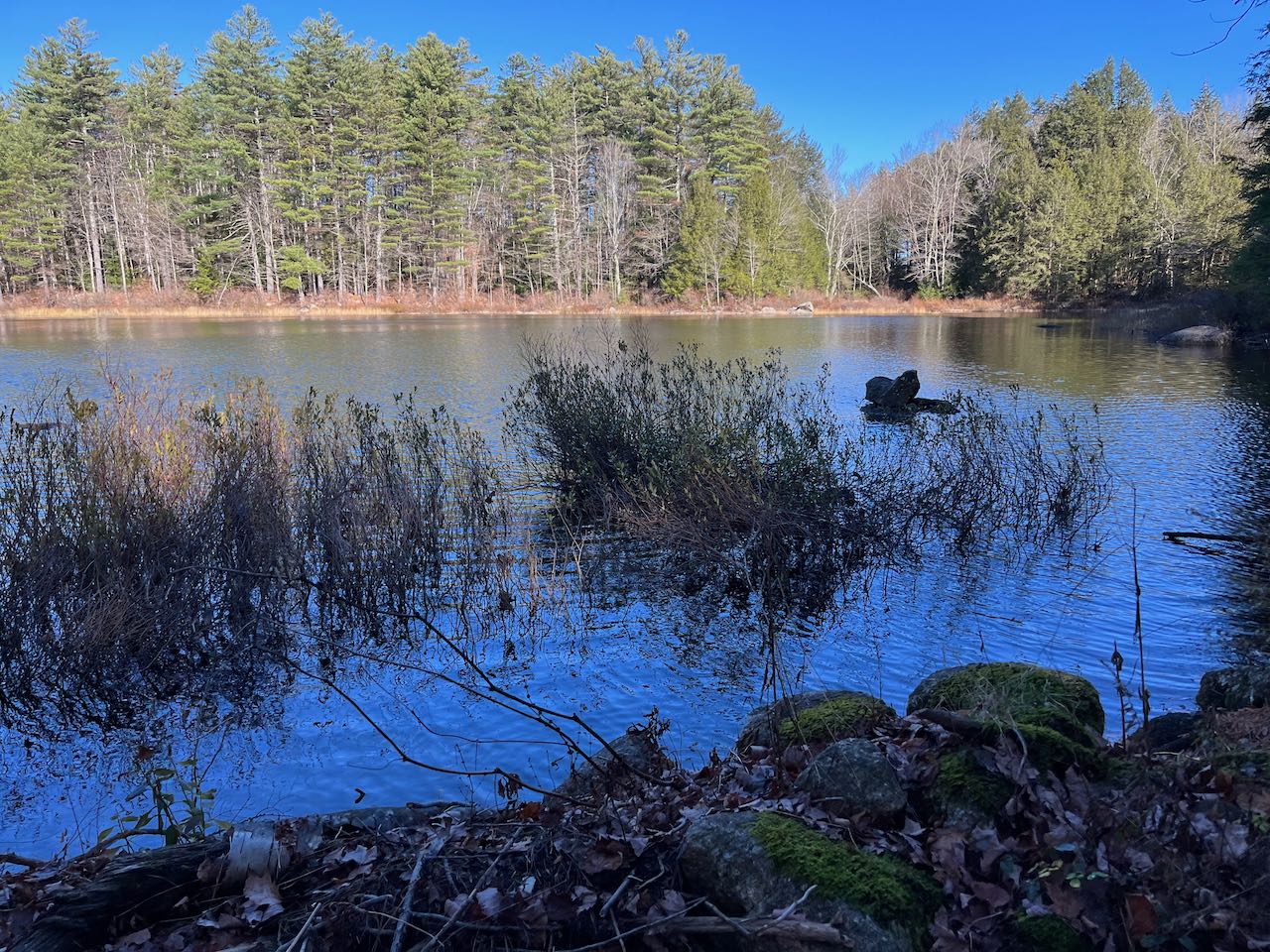
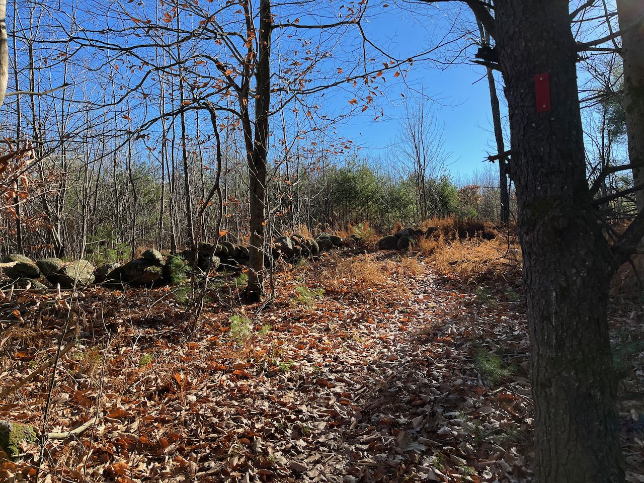
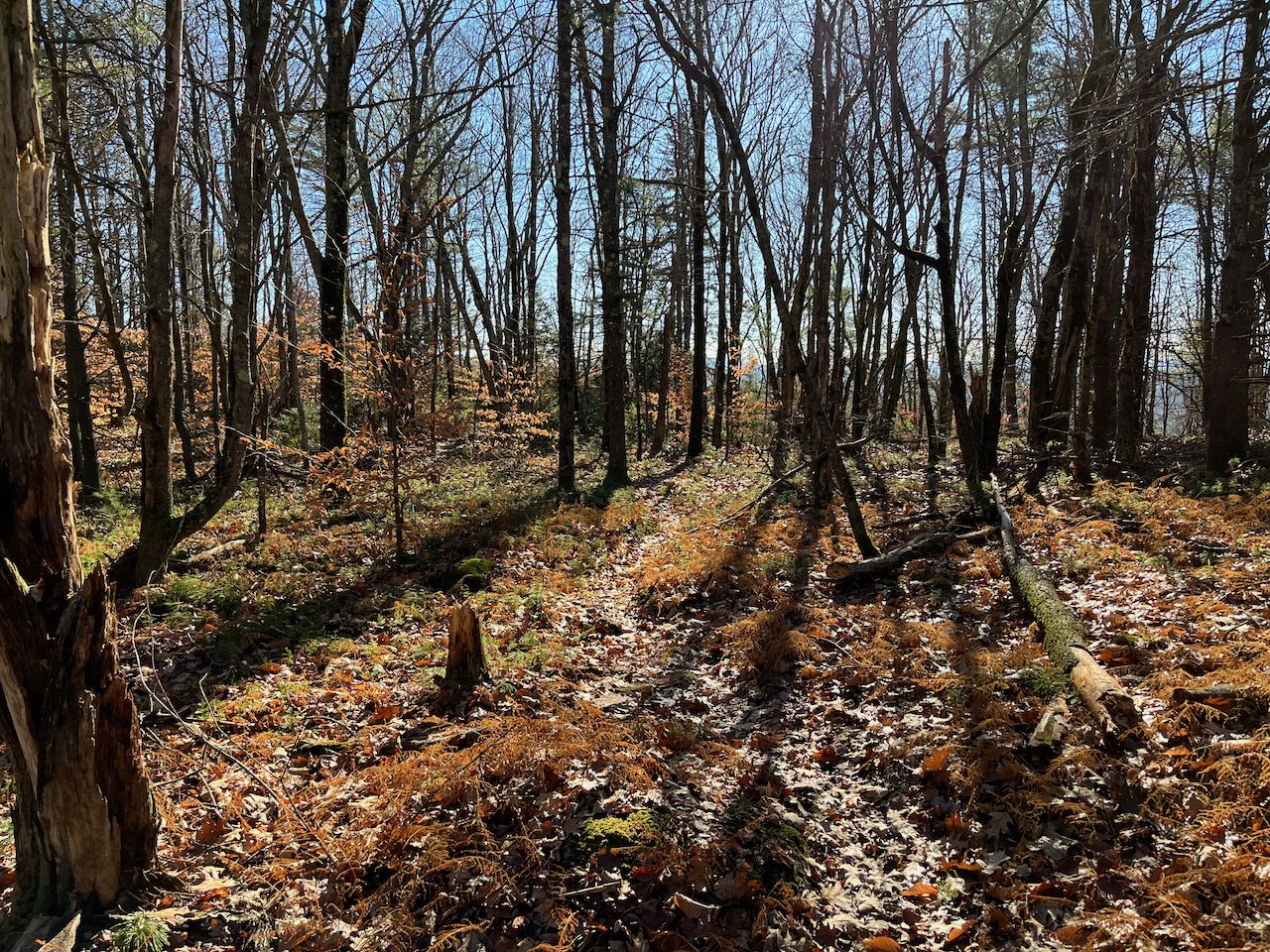
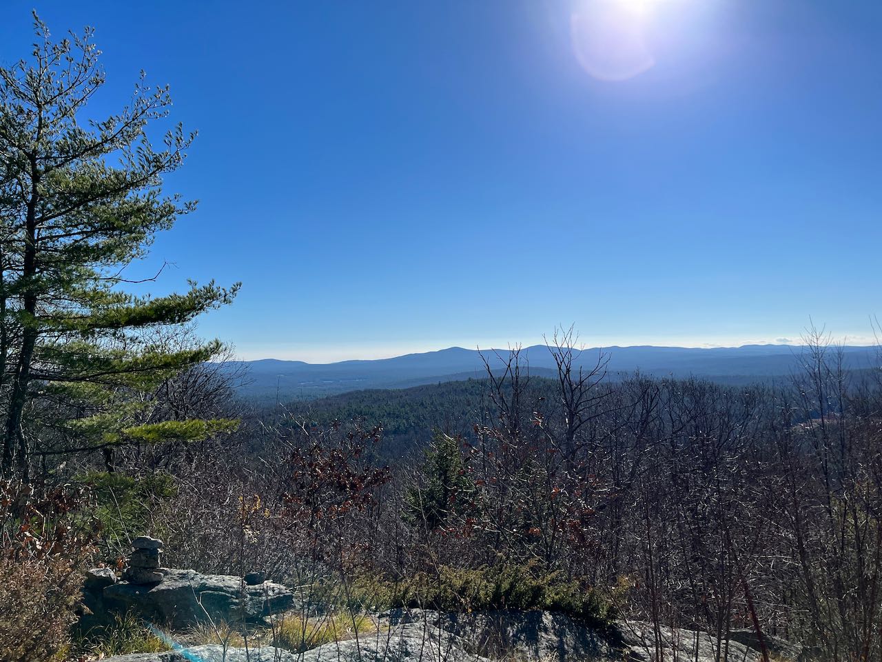
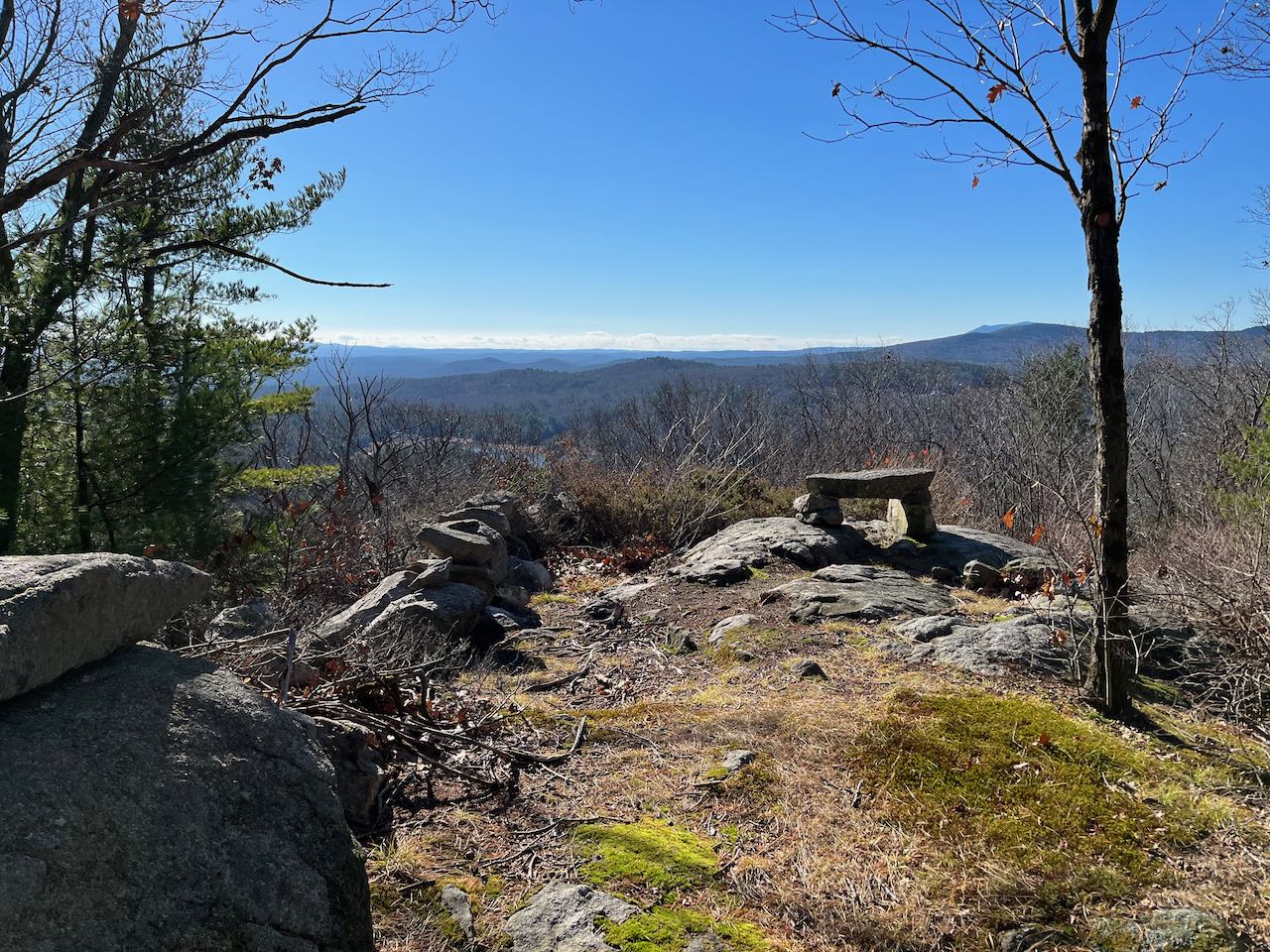
From the parking area, walk back down the road (the way you drove in) 175 feet, and look for the trailhead on the left between the boulders and the building. Follow the Mill Pond Trail toward the south side of Mill Pond, where the trail drops off a knoll and crosses a bridge over a stone-walled sluice from an old sawmill. Follow a rope handrail across the top of the sawmill remnants and over the flow of the outlet brook. 0.1 miles from the road, turn right onto the Goodhue Hill Trail as the loop around the pond continues left. Follow the trail around a cluster of boulders and across a wood road. You now begin a steady and direct ascent up the gentle slopes of Goodhue Hill, crossing a stone wall. After 0.55 miles, the trail passes through a stand of small pine trees and crosses another stone wall into a regrowing clearcut area which once opened up nice views. Follow it 0.15 miles through a tight corridor amist the dense new growth to the other side of the clearing, where it emerges back into the open woods and runs over the level top of the hill for 0.1 miles to arrive at the highest point. Another stone wall runs across here, where a bench is perched on a rock outcrop over a cleared viewpoint. From here, you can enjoy a directional view to the south. On the right side you have Skatutakee and Thumb Mountains, with Mt. Monadnock partially blocked behind on the left. In the center of the view, you overlook a portion of Carpenter Marsh. And on the left, you have a nice shot of the Wapack Range, with the two Pack Monadnocks most prominent.
Printable directions page